
Description
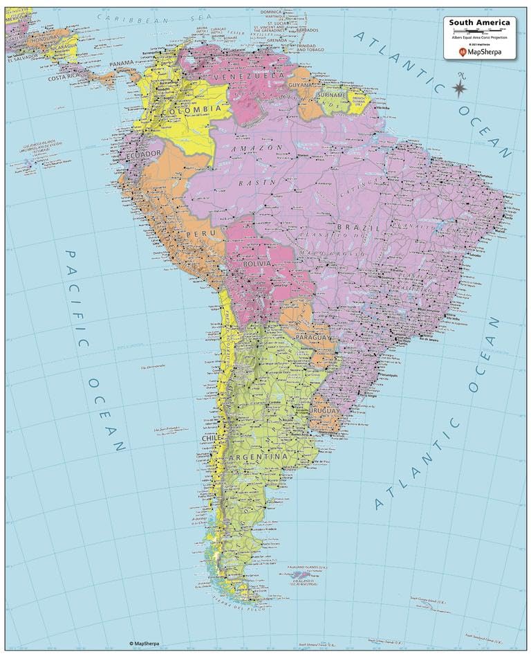
HIGH QUALITY PRINT: Your laminated map has a glossy finish so that you can use dry erase markers on the map to highlight features, make plans, and share unique information with others. Lamination is also extremely durable, resistant to folding or ripping SCALE: 1:17,192,500 ROLLED IN A STURDY TUBE: Your map is rolled and packaged in a sturdy tube to protect it during shipment ALWAYS CURRENT: The world is always changing, and we strive to keep this map updated with these changes This South America Political Map shows all the countries that make up the continent; from Colombia in the north, to the end of Tierra del Fuego of Argentina and Chile to the south. Each country and its capital and major cities are noted, as well as the primary physical features such as mountain ranges, rivers, and lakes. The major islands and their associated countries are noted.
Your laminated map has a glossy finish so that you can use dry erase markers on the map to highlight features, make plans, and share unique information with others. Lamination is also extremely durable, resistant to folding or ripping. Your map is rolled and packaged in a sturdy tube to protect it during shipment.
More Information
| Color | Multi |
| Size | Front Lamination |
| Gtin | 0697942191615 |
| Mpn | 697942191615 |
| Age_group | ADULT |
| Condition | NEW |
| Gender | UNISEX |
| Product_category | Gl_office_product |
| Google_product_category | Office Supplies |
| Product_type | Office Products > Office & School Supplies > Education & Crafts > Geography Materials > Maps |