
Description
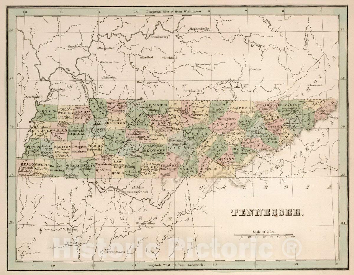
Hand-colored historical map of Tennessee from 1838, showing counties, cities, towns, rivers, and administrative boundaries during the Canal Era. Copperplate engraving from T.G. Bradford's Comprehensive Atlas, Geographical, Historical & Commercial, drawn by E. Tisdale. Made-to-order print ideal for history enthusiasts, educators, collectors, and wall art in offices, studies, and homes. FINE ART PRINT QUALITY: Printed on heavyweight 230gsm matte paper with archival giclée inks for crisp detail, rich tonal depth, and long-lasting display quality suitable for home, office, or gallery-style framing. PRINTED IN THE USA: Professionally printed on heavyweight matte paper and carefully packaged in a durable protective tube for safe delivery. Many sizes fit widely available standard frames. Each artwork is digitally restored to reduce age-related imperfections while preserving the historic texture, detail, and character of the original map. Made-to-order print of Tennessee - River Map, 1838. A historical map reproduction from Bradford's Comprehensive Atlas, perfect for wall art, offices, studies, and collectors.
More Information
| Size | 24"L X 18"W |
| Mpn | 560183 |
| Age_group | ADULT |
| Condition | NEW |
| Gender | UNISEX |
| Material | Paper |
| Product_category | Gl_home |
| Google_product_category | Home & Garden |
| Product_type | Books > Subjects |