
Description
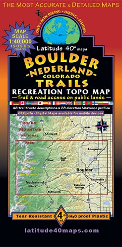
- Map Coverage – covers 18 USGS 1:24,000 7.5-minute quad maps:
- North – St. Vrain Glaciers and Peaceful Valley
- South – East Portal and Rollinsville
- East – Louisville
- West – Devil’s Thumb and Rollins Pass
- Size
- 39″ × 25″ flat
- 8″ × 4″ folded
- Scale
- 1:40,000
- 1 inch = 0.63 miles or 1.06 km
- Contour Interval – 40 feet with shaded relief base
- Latest Edition
- 4th
- 2020
- Notes
- Includes the east side of Indian Peaks Wilderness
- Includes the foothills east of the Peak to Peak highway
- 48 trail descriptions
- 20 elevation profiles
- Two-sided, self-cover, plastic folded map
More Information
| Color | Greyscale |
| Gtin | 9781879866386 |
| Age_group | ADULT |
| Condition | NEW |
| Gender | UNISEX |
| Product_category | Gl_outdoors |
| Google_product_category | Sporting Goods > Outdoor Recreation |
| Product_type | Books > Subjects |